Maps are created for many reasons: to navigate, to measure distances, and to understand the lay of the land. There are two main types of maps: topographic and geologic. Both have their purpose but serve different needs. Topographic maps show features like elevation and vegetation, while geologic maps show the distribution of rocks and soils. Though both are important, it’s important to know which map is appropriate for your needs.
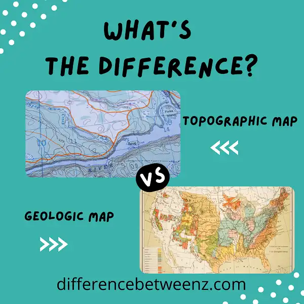
What is Topographic Map?
Topographic maps show the three-dimensional surface features of the earth. They are useful for a variety of applications, including planning hikes and analyzing geologic features. Topographic maps are created by taking measurements of the elevation, or height, of the land surface. These measurements are then used to create a contour map, which shows lines of equal elevation. The spacing of the contour lines indicates the steepness of the terrain. Topographic maps also include other important information, such as the location of roads, trails, and bodies of water. When used in conjunction with other maps and data, topographic maps can be a valuable tool for understanding the complex features of our planet.
What is Geologic Map?
Geologic maps are perhaps some of the most useful tools used by geologists. Geologic maps are used to help us understand the distribution of different rock types and their ages, as well as the structures that have formed within the rocks. Geologic maps can be either regional in scope or local in scope. Local geologic maps may focus on a single outcrop or a small area, while regional geologic maps cover much larger areas. Geologic maps are essential for understanding geological processes that have happened in an area, as well as for identifying potential areas for future research. Geologic maps are also used by engineers and planners to help assess potential risks from natural hazards such as earthquakes, landslides, and flooding.
Difference between Topographic and Geologic Maps
Topographic and geologic maps are two types of maps that are used to represent different features of the Earth’s surface. Topographic maps are usually used to show the elevation of the land, as well as natural and man-made features, such as rivers, lakes, and roads. Geologic maps, on the other hand, are used to show the different types of rocks and minerals that make up the Earth’s crust. In addition, geologic maps can also be used to show the location of fault lines and other geological features. While both types of maps can be useful for planning purposes, topographic maps are typically more detailed and accurate than geologic maps.
Conclusion
Topographic maps are great for illustrating features like mountains, valleys, and rivers on the Earth’s surface. However, they can’t show you what is happening underground. Geologic maps use different colors and symbols to represent the different types of rocks and soil in an area. This information can help you understand where potential mineral deposits or oil reserves might be located. If you need a map that shows both the surface features and the subsurface composition of an area, then you would need a topographic map and a geologic map.